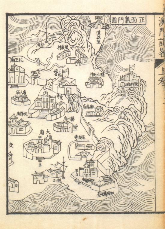
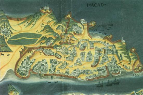
This is a traditional China sea chart, depicting in details features of mountains, rivers, coastal islands, cities, villages, passes, waterway “Tangs and Xun”(two different barriers in Ming and Qing Dynasty), and defense works. The administrative classifications on the map express changes of provincial prefectures and departments of Guangdong in Jiaqing years of Qing Dynasty. Many military and administrative units above “Xun” and villiage are marked respectively in red and light brown symbols of houses, such as Qianshan Fortress, Jida Xun in north of Macau. The painting of the blue round walls and four red gates highlights counties and above. To stress the importance of capital, Guangzhou City, streets inside and outside,office buildings,academies, and units for military and civil use are drawn in an exaggerated ratio, which is apparently out of proportion for it lays too much on the development of Pearl River courses and puts a wide range of areas into islands. The outline of Macau Peninsula is also out of scale as it was drawn in east-west direction, and stumpy lotus-stem-like spot right on top of peninsula. Despite these shortness the distribution of essential defense works are clearly expressed. The Macau walls are painted blue and red towers drawn on them stands for customs Xun. Three gun emplacements are put in the city, two of them are marked,one is around Macao and the other close to Barra. Outside the city there erects foreign batteries, Ruins of St. Fortress and magistrate’s offices, which in 1744 was moved there from Qianshan, Xiangshan County to where it was in Wangsha villiage,Macau, because Qing government intended to reinforce the administration of Macau affairs. Several islands to the south of peninsula are also painted, for instance, “雞頸潭仔” is Taipa today, “過路環” is Coloane, and “大黃琴” is the large Huangqin Island now. There is a line of notes beside Cross Gate area saying “it is Investigated that Macau is a resident of western people, without branching streams into inner rivers, extending eastward to Jiaomen Entrance for about eighty miles.”
This is a copy of “G7823.G8A5 1815 .G8”, No.11 contribution by Hummel, Arthur William, (1884-1975). It was bought in 1930 and now is preserved in the Library of Congress, U.S.A.
Reference:
[1]. 林天人編撰; 張敏英文編譯. (2013). 皇輿搜覽 : 美國國會圖書館所藏明清輿圖 ( pp79-82). 臺北 : 中央研究院數位文化中心; Washington D.C. : 美國國會圖書館.
[2]. 費成康. (2004). 澳門 : 葡萄牙人逐步佔領的歷史回顧 (pp102-104). 上海 : 上海社會科學院出版社.
Informações relevantes
Data de atualização: 2019/02/27


Comentários
Comentários (0 participação(ões), 0 comentário(s)): agradecemos que partilhasse os seus materiais e histórias (dentro de 150 palavras).