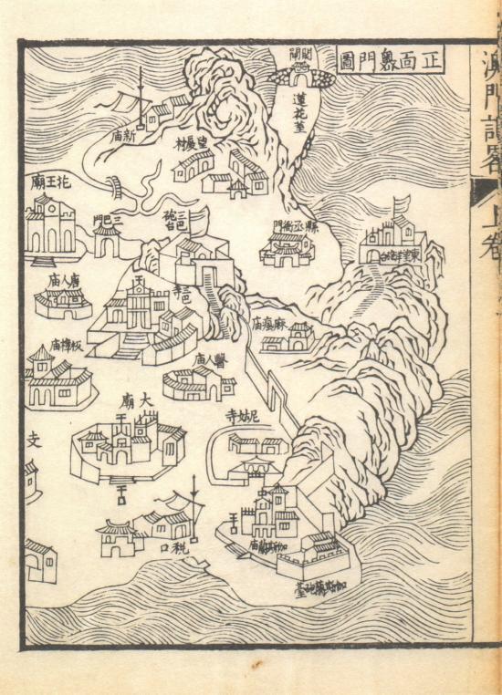
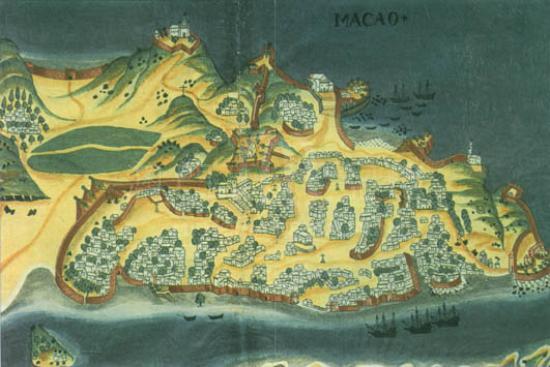
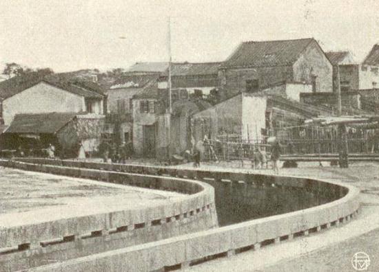
After arriving in Macau in 1579, Italian Jesuit missionary Ruggieri (Michele Ruggieri) went to many places in China and effectively promoted the cultural exchange Between China and the West. In 1588, Ruggieri returned to Europe from Macau and died in 1607 in Italy. In 1987, a number of Chinese map manuscripts and other materials by Ruggieri were found in the National Library in Rome. It's called by a joint name Ruggieri's Atlas of China (Atlante della Cina) by modern scholars, which is now known to be the first atlas of China drawn by Europeans, although it was not printed and published. Ruggieri's Atlas of China has 32 maps in total, most of which are Ruggieri's manuscripts, while one map 'Map of Liaodong Edges' is a page from the ancient Chinese book Da Ming Guan Zhi (Bureaucracy of Ming dynasty) in Ming Dynasty. The latest research shows that the book is the primary source of Ruggieri's Atlas. The map is selected from four maps of Guangdong Province of the Atlas. Guangdong Province and Hainan Island were marked with different types of buildings to show military and political institutions at all levels. The map also indicates the country's mineral resources by various symbols. Ruggieri marked Macau on the map and specially painted the Catholic Church with the cross, which was also depicted in Zhaoqing in inland Guangdong province.
This map is copied from Ruggieri’s Atlante della Cina in Macau University of Science and Technology Library. The copy is from and the Italian State Printing Industry Association and the National Library (Istituto poligrafico e zecca dello Stato, Libreria dello stato) in 1993.
Reference:
[1]. Ruggieri, M., Lo, S. E., & Archivio di Stato di Roma. (1993). Atlante della Cina. Rome: Istituto poligrafico e zecca dello Stato, Libreria dello stato.
[2]. 洛佩斯. (1998). 羅明堅的《中國地圖集》. 文化雜誌, 34期.
[3]. 汪前進. (2013). 羅明堅編繪《中國地圖集》所依據中文原始資料新探. 北京行政學院學報, 03期.
Informações relevantes
Data de atualização: 2019/02/27


Comentários
Comentários (0 participação(ões), 0 comentário(s)): agradecemos que partilhasse os seus materiais e histórias (dentro de 150 palavras).